


209 km | 333 km-effort

Tous les sentiers balisés d’Europe GUIDE+


FREE GPS app for hiking
 SityTrail
IGN / Geographical institutes
SityTrail World
The world is yours!
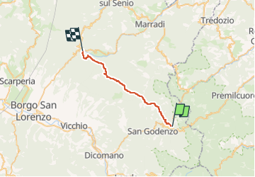
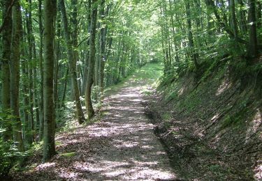
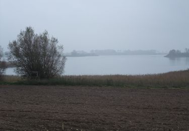
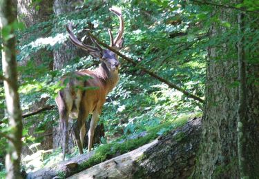
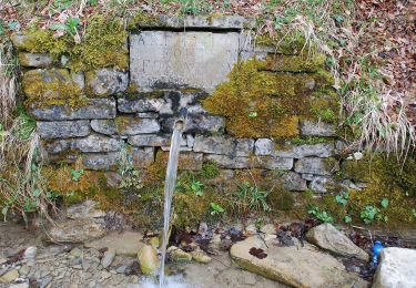
Trail On foot of 24 km to be discovered at Tuscany, Metropolitan City of Florence, San Godenzo. This trail is proposed by SityTrail - itinéraires balisés pédestres.
Sentiero Italia CAI 2019
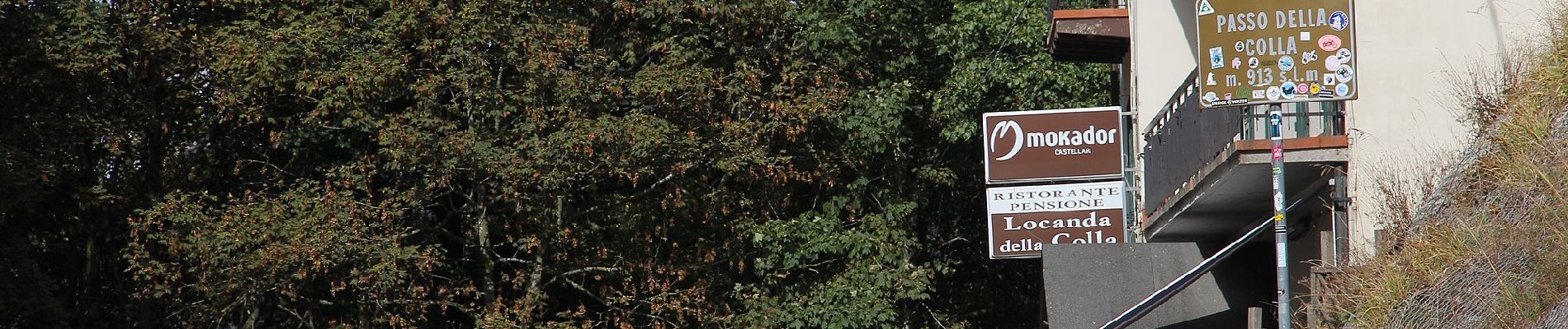
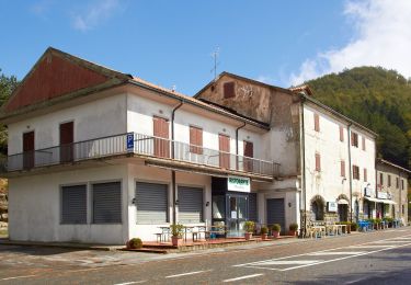
 Passo del Muraglione - Passo della Colla di Casaglia - Photo 1")
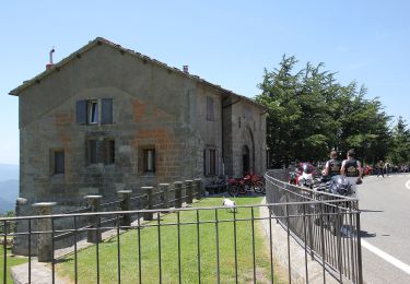
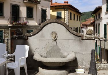
 Passo del Muraglione - Passo della Colla di Casaglia - Photo 2")
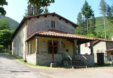
 Passo del Muraglione - Passo della Colla di Casaglia - Photo 3")
 Passo del Muraglione - Passo della Colla di Casaglia - Photo 4")
 Passo del Muraglione - Passo della Colla di Casaglia - Photo 5")
 Passo del Muraglione - Passo della Colla di Casaglia - Photo 6")
 Passo del Muraglione - Passo della Colla di Casaglia - Photo 7")
 Passo del Muraglione - Passo della Colla di Casaglia - Photo 8")
 Passo del Muraglione - Passo della Colla di Casaglia - Photo 9")
 Passo del Muraglione - Passo della Colla di Casaglia - Photo 10")
On foot
On foot
On foot
On foot
On foot
On foot

On foot
On foot
On foot